I was on an epic stretch of routes. Since El Bolson I had discovered fantastic remote feeling back roads in the hear of some of the most touristic Patagonia. The winter was slowly turning into a spring and I had my hopes up that I could get to ride over some volcanoes in the Chilean side. I had also heard about a ‘closed’ hot spring in the border area, where I could relax for a couple days before attaching the steep hills of the snow capped volcanoes. Eventually it did not all go as planned…
The following events occurred XXXXX and it covers around 1XXkm in Argentina from San Martin de los Andes to Pucon.
It would have been nice to stay in San Martin de los Andes a bit longer than what it took to celebrate by previous route finding with an empanada and a beer, stock up more food from a supermarket and fix a flat tire. There were five micro breweries in town and if I had just had the money to pay for an accommodation and tour the cervecerias, the plan for the following days would have been set. My mood was risen though in the parking lot of the supermarket, when a señora with her kid come to talk to me. The 7 year old boy was impressed about my bike and my trip and tried to share as much as I could about my life on the road with my Spanglish as possible. I gave the boy my business card (I try to see this as a serious endeavour) with my website, instagram and route across the planet. They donated me bananas, cheese and bread and a small picture of a Saint and wished my a blessed and safe trip.
Coming back to the bloody puncture… Like mentioned before (LINK HERE), I was not tubeless anymore as I had not managed to fix a big holes in my tires made my big pieces of glass and I was paying the price. The type of tires I wanted (26+) were not available in South America, or nearly anywhere yet, and anyway if I could access them i would not simply afford them. Therefore I had hit Wilderness Trail Bicycles with an email a week earlier to ask if they would like to help me out. To my luck I received an enthusiastic response that they would love to dial me into some products! I couldn’t pretend that I was not proud, pleased and happy to be supported by a such an iconic company, one of the pioneers in the scene of mountain biking. Sometimes I feel like a madman, riding my bike in the middle of nowhere; alone; searching for something I had seen from space. People asked me why am I still on the road and I yet had not figured out a one sentence response. i could have collected the money for a new pair of tires somehow, thinks will always work out I have learned on the road, but getting recognition from a such a huge player in the world of cycling had a huge mental impact. If they think what I do is something cool or exceptional, maybe I am not that crazy after all. Or maybe it is exactly the craziness that they are rewarding me for.
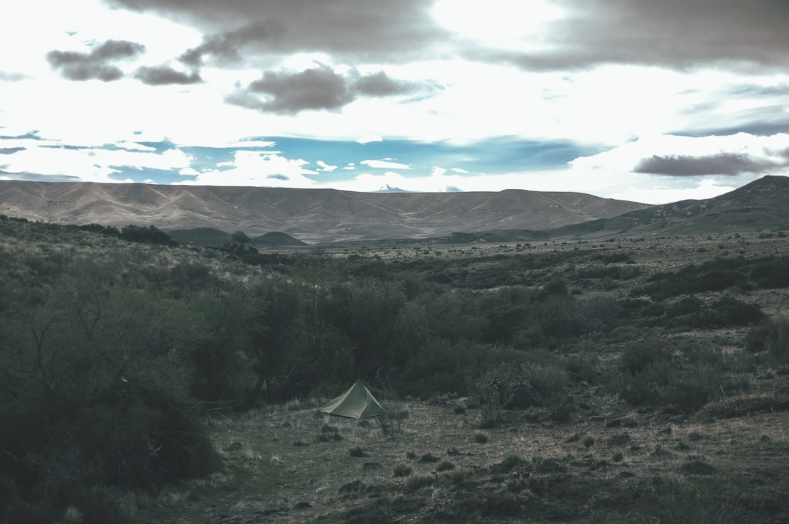
Some biketourers are terrified to ride at night, but I like it as long as it is something I choose to do. When I left San Martin de los Andes in the dark, i was somewhere in between. Lago NAME HERE was XXkm away from the town, which was far enough away from the town on my standards to camp safely. The beaches were windy, but the small cobbles offered a flat enough and most importably somewhat hidden spot to spend the night. The shoreline had a sufficient amount small mostly dry drift wood and I cooked on small campfire my usual stable of full grain rice and lentils with carrots, garlic, ginger, onion and tomato. I sat on the rocky floor on my thick neoprene overshoes as my seating pad, flushing down my smoky stew with another beer. Moon was full and my camp was illuminated by grey blueish moonlight with pulses of orange and yellow of one man central heating.
Caption
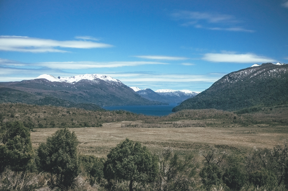
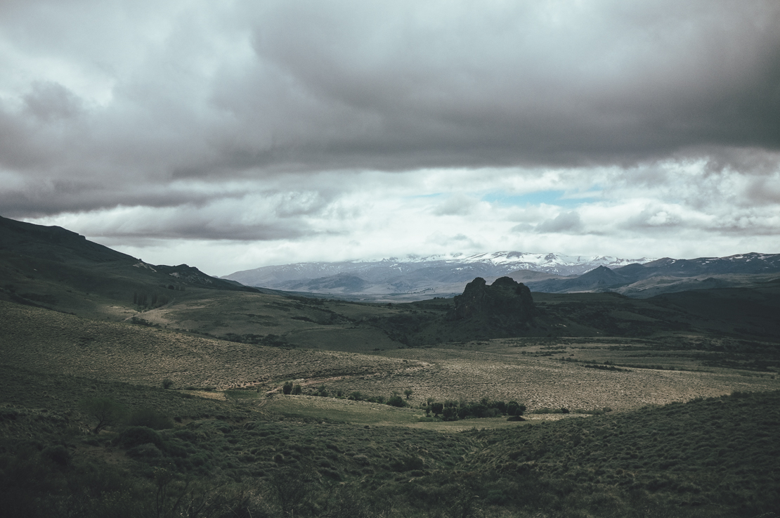
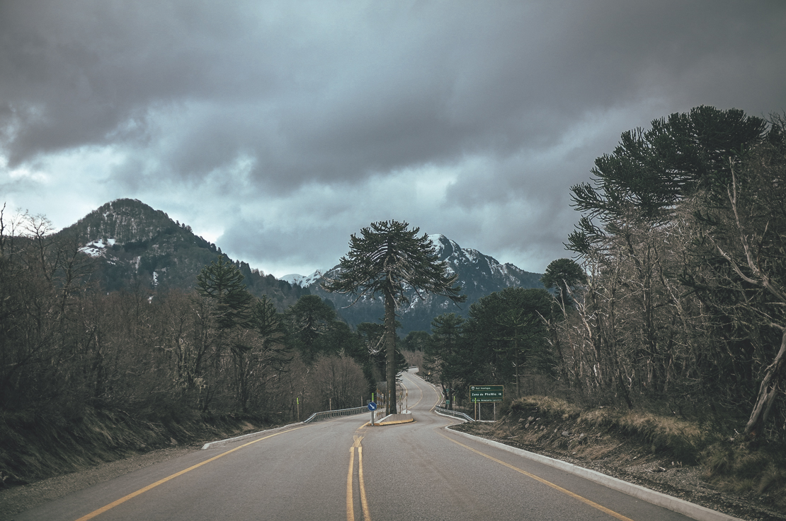
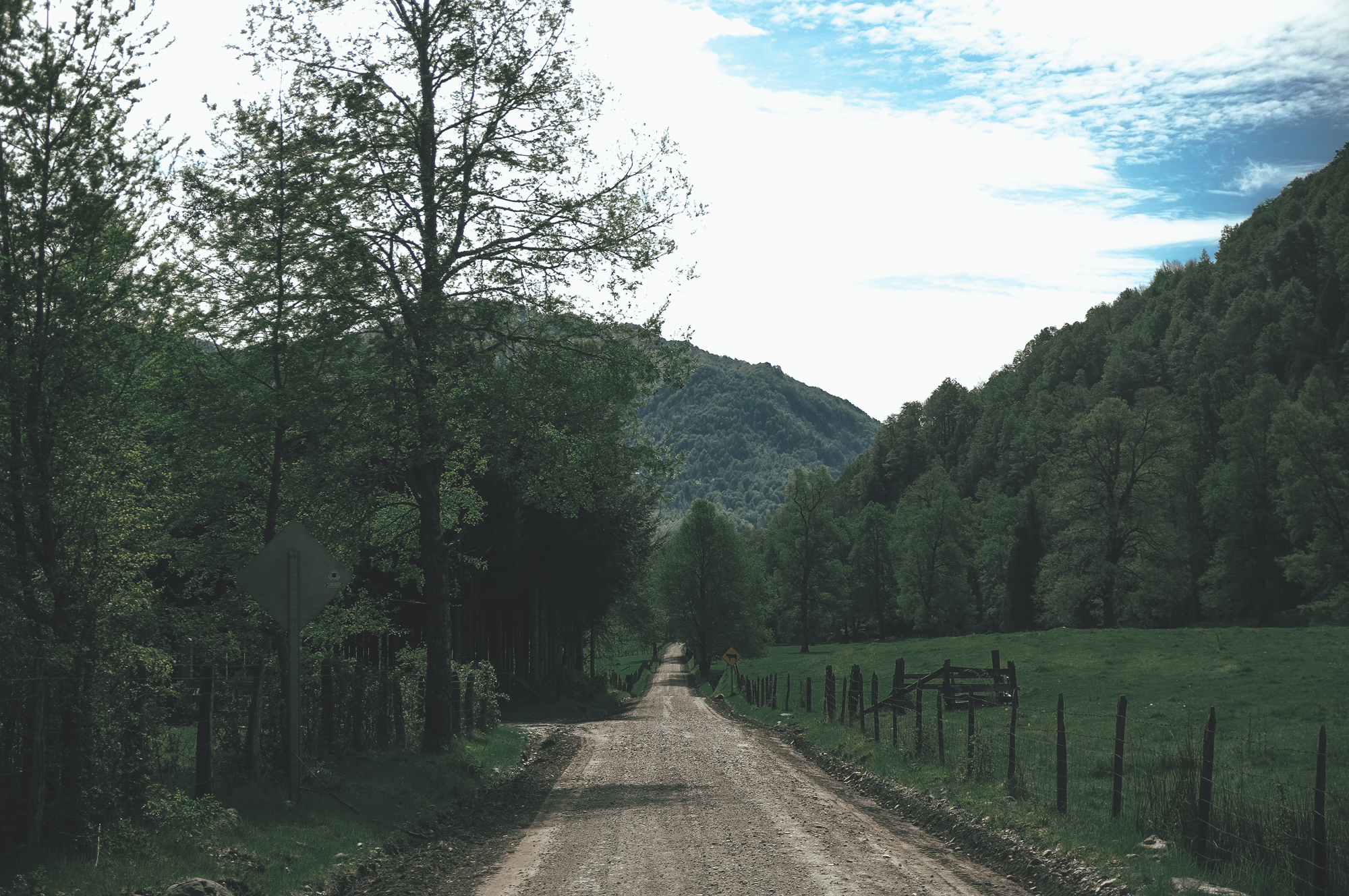
Paso XXXX seemed to be a jewel of a pass to cross to Chile, a small gravel road with rare traffic and a hot spring NAME HERE at the border. I had managed to find out that the usually pricey hot spring complex was currently under repair, but due to winter there was no work being done. I guess before my trip I would have received such an information with disappointment, but now I know better. I would have the hot spring just for my self, could stay as long as I wanted and the fun would be free of charge. I was carrying enough food for more than a week to give me freedom to practise my NAME OF SWIMMING STYLE HERE as long as I wanted. The famous tailwind of Patagonia (this is s-a-r-c-a-s-m) agreed with my plan and pushed me up the hill toward the Gendarmeria, which would be the first of the two border offices I would need to cross before the dreamland.
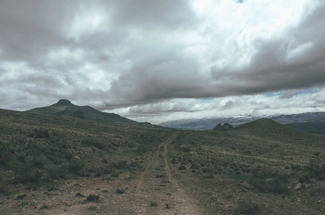
Caption
‘You shall not pass’ shouted the bearded Gendarme with his pointy hat with an authoritative voice. He had no real resemmablnce of Gandalf the Grey and did not speak really any English, but still the message got through. ‘Lets see at night’, was the first reaction of the inner me, but once we continued talking and they had shared their lunch of pasta bolognese with cheese and red wine with me, the outer me decided otherwise. The three gendarmes, spending their days cooking and watching series, told me that a recent landslide had closed part of the road and now a company was rebuilding the destroying part and making other parts safer. Once I perfected further if there could still be way to push my bike across they told a story that a trekker had tried to done that a year earlier without a permission and for his bad luck he had been blown away. Not only by the beauty of the sceneries but also by a charge of dynamite. I am indeed after of memorable experiences, especially the ones I get to share afterwards. Rerouting it would be.
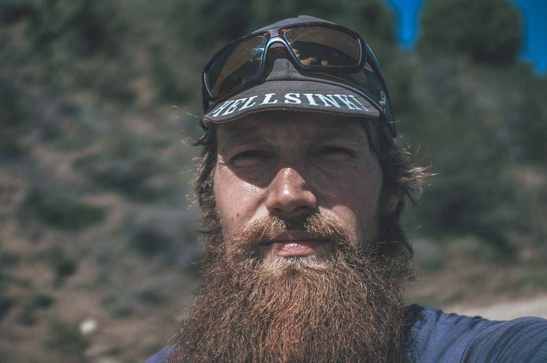
This is a face of disappointment.
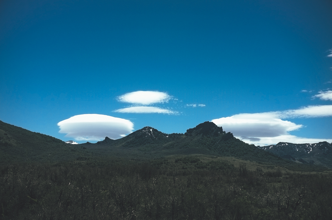
Before I found Map Out (LINK HERE) for my iPhone, my rugged GPS device, I was in the mercy of online route planning. Still I plan 90 per cent of my routes on Ride With Gps (LINK HERE), and then transfer the GPX files to Map Out, but the apps is a piece of gold when I am forced to reroute or for some other reason decide to change my direction. After having a long hot shower at the Gendarmeria, I sat on the front porch of the their cabaña zooming in and out of the region on my phone. Going to the closest border crossing south I would need to reroute, which I extremely disliked, so north I would go. Without a satellite picture finding a route across the mountains directly to the Paso NAME HERE though would be impossible, so I would return down from the Cordillera, which forms a natural border between Argentina and Chile, to Junin de los Andes, before I could head back up and cross to Chile through the Parque Nacional NAME HERE. Map Out showed though a couple of shortcuts to the pass from the town and surely I checked them out. Were their eventually shorter? Yes. Where they eventually faster? Not even close.
Caption
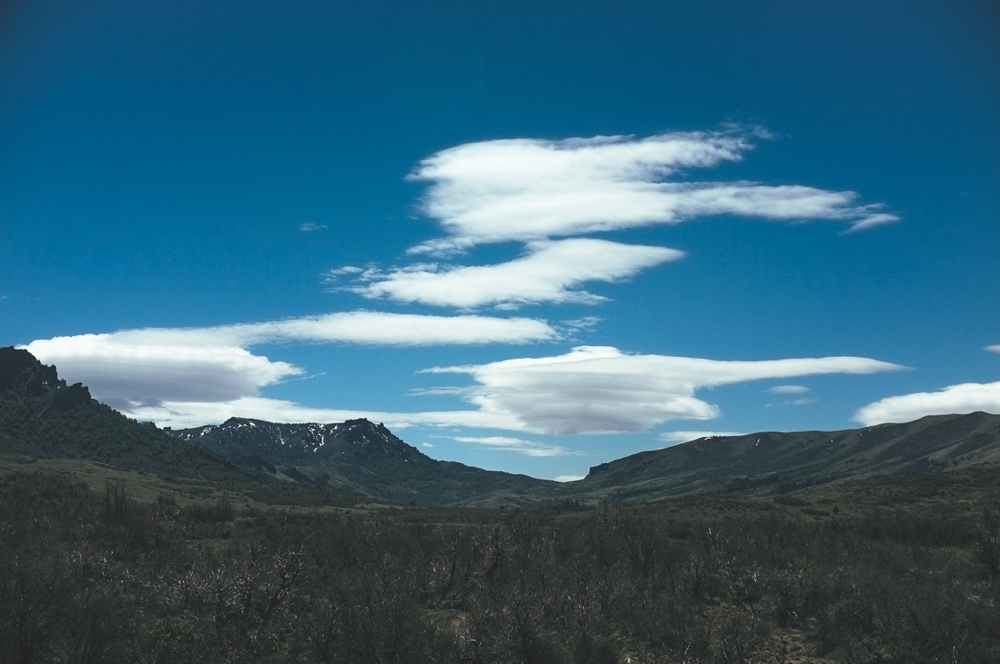
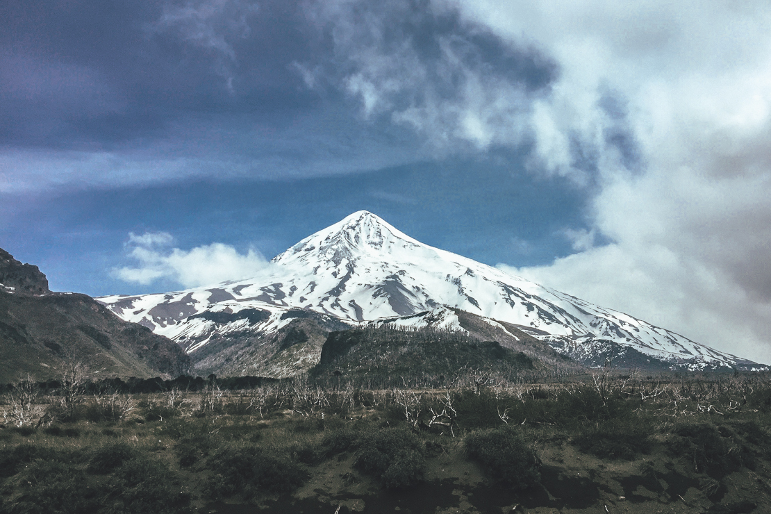
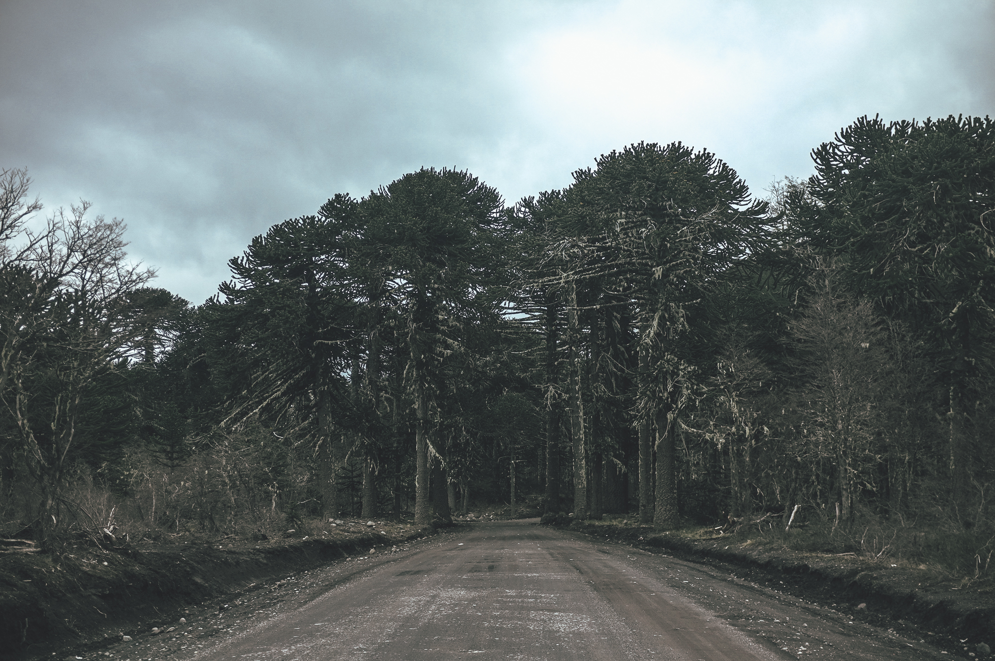
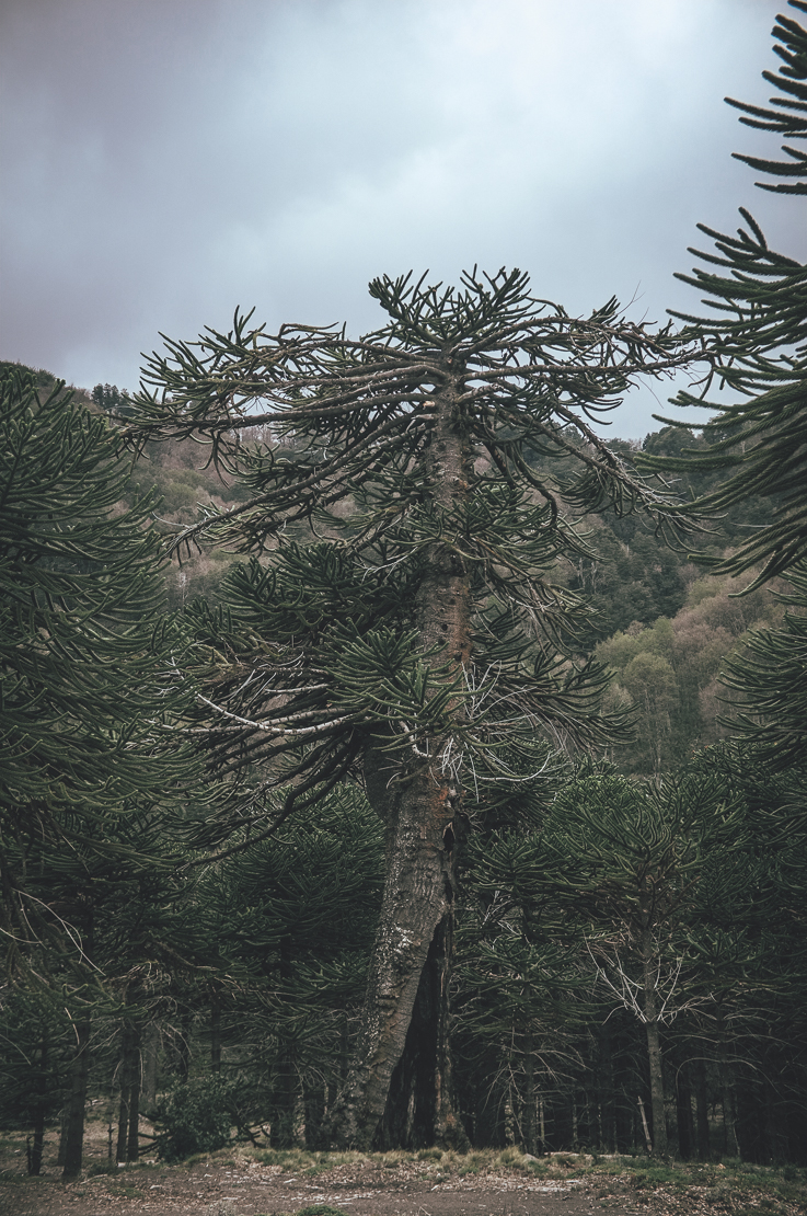
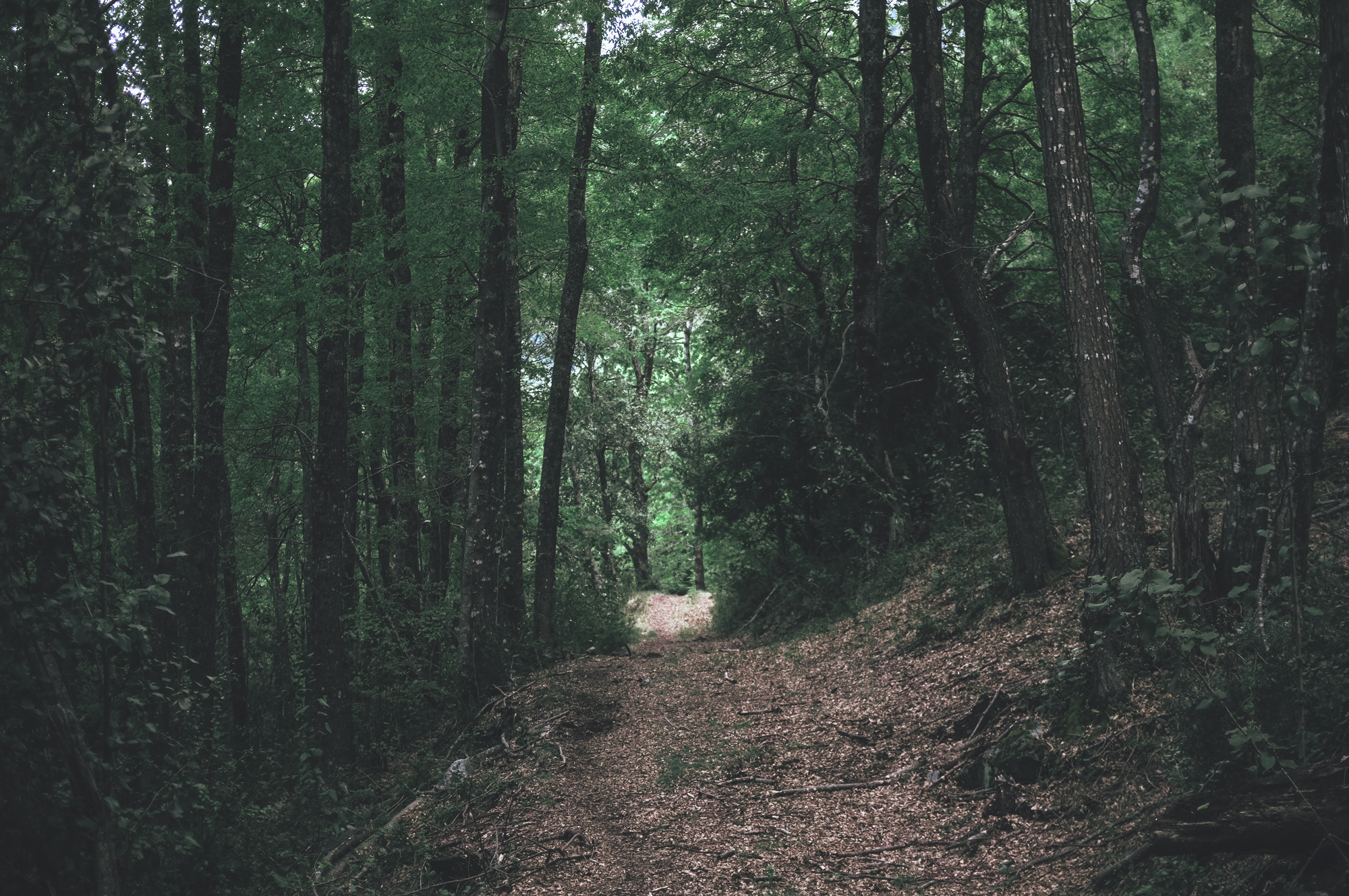
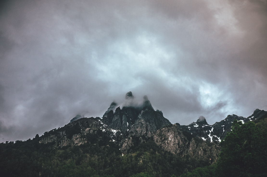
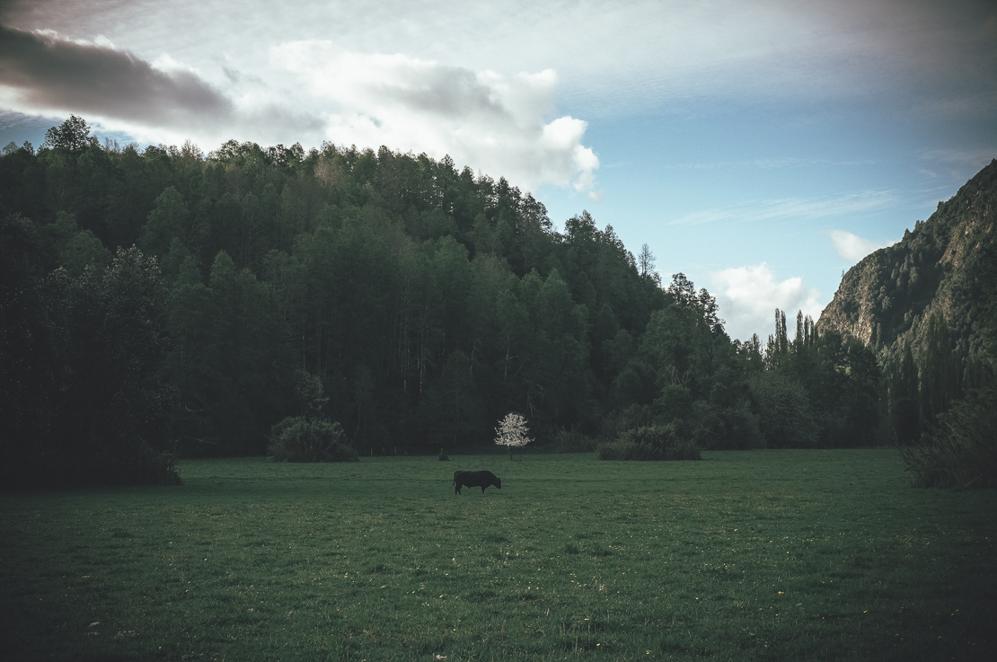
I found out that the specific stretch of road I was trying to take did only patly exist and some of the way i was have to improvise on some of the route I found not marked on my map. Twice I found my self pushing my bike across overthrown bushes and across a trackless steppe in effort to get on more used track again. Storms of rain hammered my back every now and then and I tried my best to keep the spirit high by going through Radio Lab podcasts. Satellite image based route has it’s purpose, I was reminded. I slept in a pine plantation 20m away of a carcass of a cow (I smelled this when the direction of the wind changed in the morning), quickly fished the stream close by in the morning (no one around, I like to think) and started riding the last XX km to the Chilean Immigration. Parque National NAME HERE is named by the iconic Volcan NAME HERE, which snowy peak rises to XXXX meters above sea level with XXXXm of YYYYY from the valley floor. The pass is covered by a forest of monkey puzzle trees, SCIENTIFIC NAME HERE, which made a relative of a monkey, me, at least puzzled. The trunk of a Araucanias is covered by a peciluear pattern of bark and top reminds somewhat of a hat of mushroom with strange thin branches sticking out symmetrically to all directions. I fished a section of the RIO NAME HERE under the giant brown and green mushrooms (again fueling more the mind than the body) before crossing the Argentine immigrations, a section of no mans land in fairy tail like forest and finally Chilean customs.
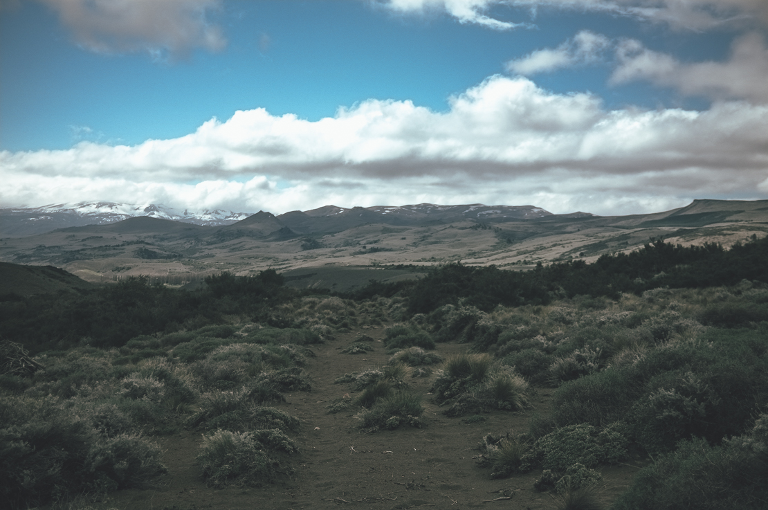
Caption
I saw from the pass that my original route plan had been a foolish one. If in Argentina the snow line had been at over 1500 meters, in Chile there were snow all the way down to XXXXX meters. My original route went up to XXXX meters and I could see that where the trail should have been on the mountain face XXXm higher, crampons and an ice ax would have been the right gear instead of a bicycle. I started the descent toward Pucon on pavement in a steep faced valley, but soon got on the old road to Pucon which was now more of a trail than a road. This beautiful route gave a full XXX hours of gravity assisted cycling, from the altitude of XXXX meters down to XXXX meters. I was haunted of flat tires on the way day, having the first one just a 1km into the route and then a second one by a clearing where I would have camped anyway.

Caption
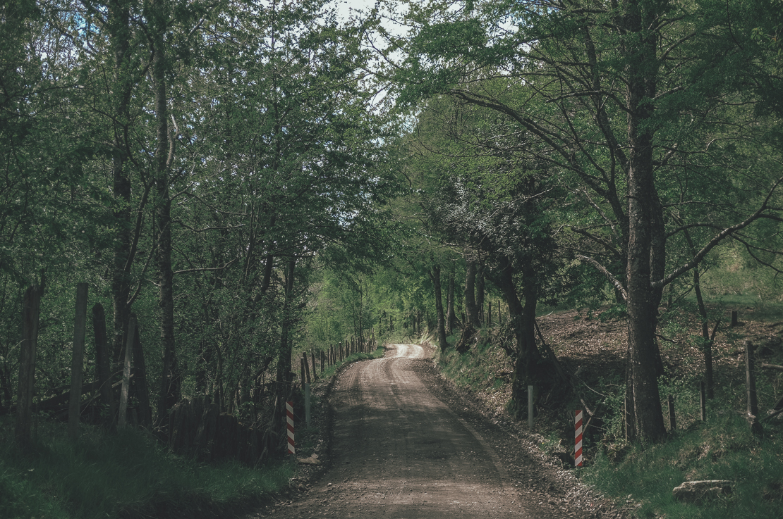
Closer to Pucon, one of the most touristy towns in the northern Chilean Patagonia, the track turned back into a gravel road and the gentle downhill took me across green farmlands cleared into thick forests of NAME OF THE TREE HERE.
Caption
I have heard a lot of Pucon the past six months. It was geographically conviently located for most bike tourers to pass by, but I did not see a point of a visit there without being able to spend a night there. Many two wheeled travellers had also praised the micro breweries, but I felt it be better not to torture my self and skip the visit. My route was also going directly north on the east side of Lago NAME HERE along the NAME OF THE TRAIL HERE over the CERRO NAME HERE to NAME OF THE VILLAGE HERE, so visit to Pucan would also had been a detour. I was much more excited of the route ahead than visiting a potential tourist trap.
The Ridden Route
Apart from the shortcut I took across the steppe and the epic downhill track I took toward Pucon, the route is fairly good gravel road. Paso XXXX is one of the main passes for biketourers to cross, so it is naturally done with all types of tires. The gravel road on the pass is a little washboardy, but the section is short. The downhill section on the old road to Pucon is fun and it even more fun with bigger tires.
The Planned Route
I am sharing my original route planning here as it still stands as an epic draft of a route across the area. Potentially multi-hour hike-a-bikes, interesting volcano side riding and steep as F downhills. Attempt this route with your own risk. Mr. Gonebikefishing is not responsible of any mental or physical damage caused by stupidity taking you along the red line in the map below. Still, seriously. Give it a go and let me know how it was like!
Help to keep the wheels spinning!

Want to donate a different amount or prefer to donate directly to my bank account? Click here.