
I knew finding a perfect route across Patagonia would be hard. Estancias, the local massive ranches control majority of the lands, rivers, lakes and roads. Often getting off the main road feels like sneaking into someone’s back yard.
On my way Puerto Natales, I found a nice back route on some squad tracks across the mountains behind Punta Arenas, but soon after my entrance was denied where ever I tried to enter. A beach road, no. Remote border crossing to Argentina, no. Through an Estancia, no. Back road to Puerto Natales, no. Fishing a river one, no. Fishing a river two, no. Camping outside Puerto Natales, no. Figuring out, which road is private and which public seems to be hard. I am soon done with dead ends – and head wind.
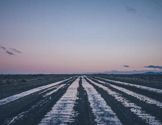
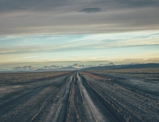
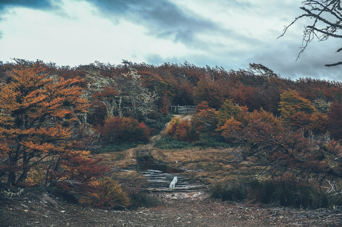
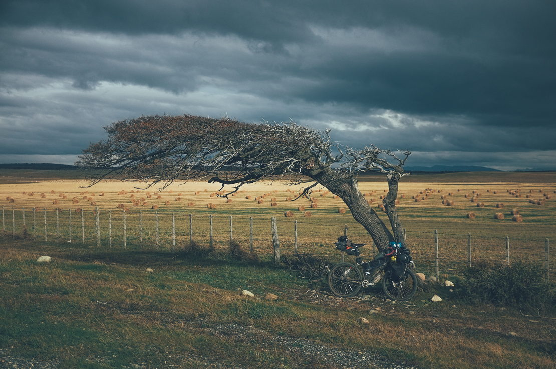
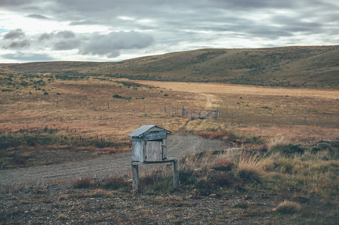
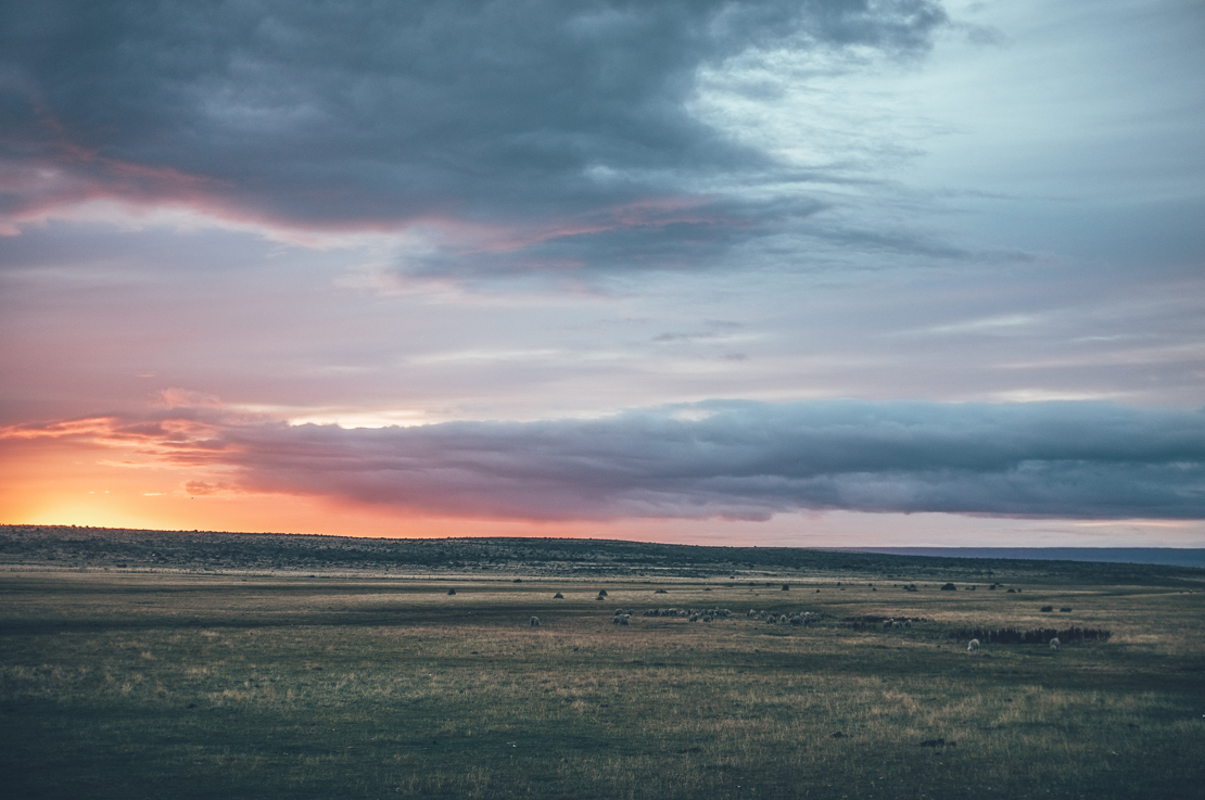
I should be posting a picture of the bloody boring and windy main road to north, but did not feel like take my camera out for a couple of days. Pictures below paint a way too pretty picture of my four days from Punta Arenas to Puerto Natales.
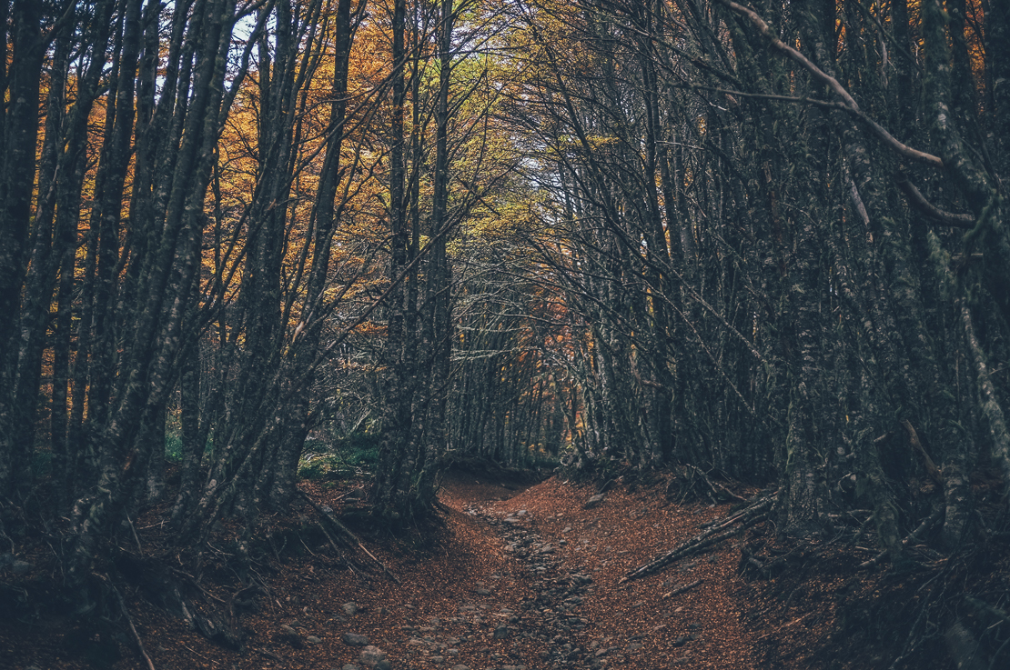
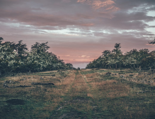
Across the hills of Punta Arenas, Chile.
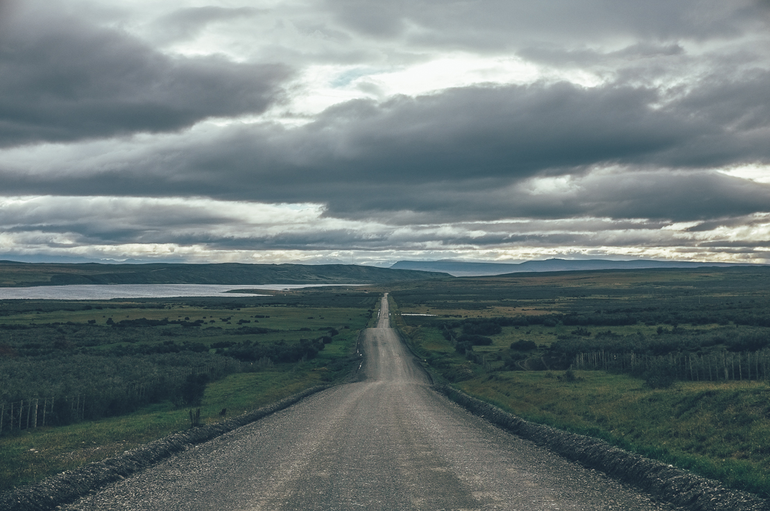
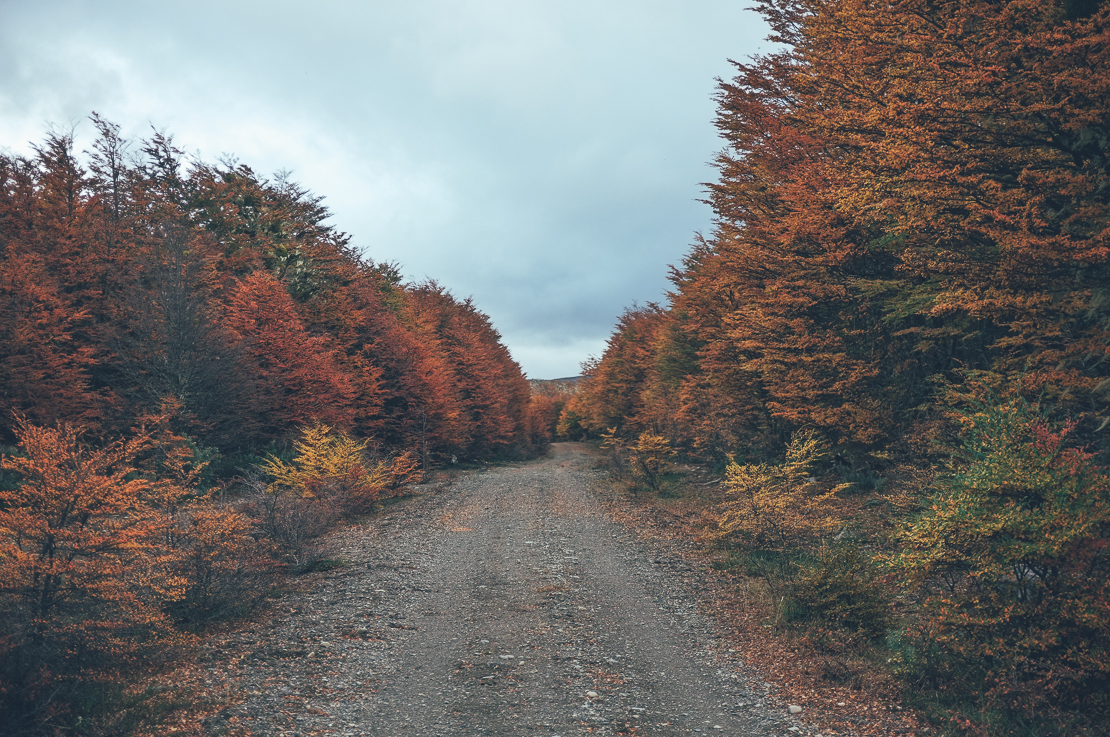
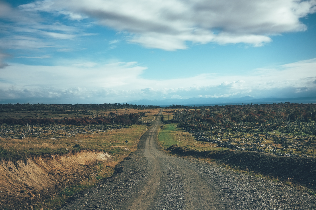
The gravel road to Rio Verde was one of the only enjoyable section riding north from Punta Arenas. Though I was still fighting the wind, which made 60km a day an achievement.
The Route
Again, as I do not have a GPS yet the route over the hills behind Punta Arenas is hand drawn. The track is followable, I would say, good to have Google Maps section of the hills of Punta Arenas downloaded as well, if you are planning to ride it. The track was muddy, rocky and slippery most of the time, 2.5 inch tires were useful. After the track joined marked roads again the surface was much better. How did I find the route? It is visible on Google Maps and Strava heat map, not on Open Street Map though. Partly visible on satellite pictures as well.